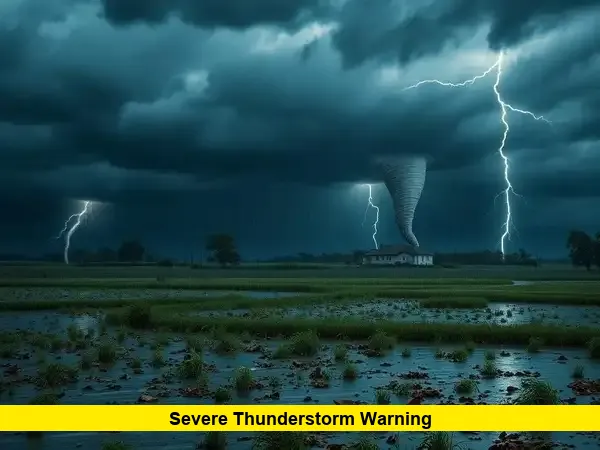
A severe thunderstorm warning has been issued as powerful storms are moving through the Twin Cities Saturday morning, bringing intense rain, strong winds, and frequent lightning.
Storms are pushing across Minnesota at a rapid pace. With conditions escalating, warnings have been activated for areas including Meeker, Sherburne, and Wright counties, and residents should be on alert. These storms are packing heavy rain and strong gusts, with the most severe activity expected to impact the metro area in the early hours.
Storm Snapshot
- Storm speed and force: Storm cells are traveling swiftly, and wind gusts may reach damaging levels.
- Warning zones: The severe thunderstorm warning currently covers several northern and southeastern parts of the Twin Cities metro area, including Meeker, Sherburne, and Wright Counties.
- Timing: The storms are active this morning, with the potential for rapid weather escalation.
Why a Severe Thunderstorm Warning Matters
A severe thunderstorm warning signals that dangerous weather is occurring or imminent—typically featuring winds over 58 mph, hail larger than one inch, or intense lightning. Unlike a watch, this alert demands immediate action to ensure safety.
Quick Facts at a Glance
| Aspect | Details |
|---|---|
| Alert Type | Severe thunderstorm warning |
| Affected Areas | Northern and southeastern Twin Cities suburbs |
| Main Threats | Heavy rain, high winds, frequent lightning |
| Movement & Timing | Fast-moving cells early Saturday morning |
| Required Response | Seek shelter immediately, monitor updates, prepare for damage |
What You Should Do Now
When confronted with a severe thunderstorm warning, follow these safety steps:
- Move indoors immediately. Seek the most secure interior room on the lowest floor of your home.
- Stay away from windows. High winds and hail can shatter glass.
- Unplug electronics. Lightning and power surges can damage devices.
- Avoid water usage. Do not shower, wash dishes, or touch plumbing during a storm.
- Charge devices ahead of time. Power outages may be likely.
- After the storm: Watch for downed power lines and flooding. Stay off flooded roads—it takes only a few inches of water to cause hazards.
What’s Happening Right Now
Early this morning, the storms have already triggered warnings across key counties in the metro area. With winds intensifying and rain coming down hard, conditions remain highly volatile. Residents in the paths of these storms are urged to stay indoors and stay connected via weather updates.
These storms are unfolding now, under a severe thunderstorm warning, with potentially dangerous conditions moving through the Twin Cities. Stay informed, take precautions, and remain safe.
What has your experience been like this morning? Share your observations below—your local insight helps everyone stay aware and prepared.
