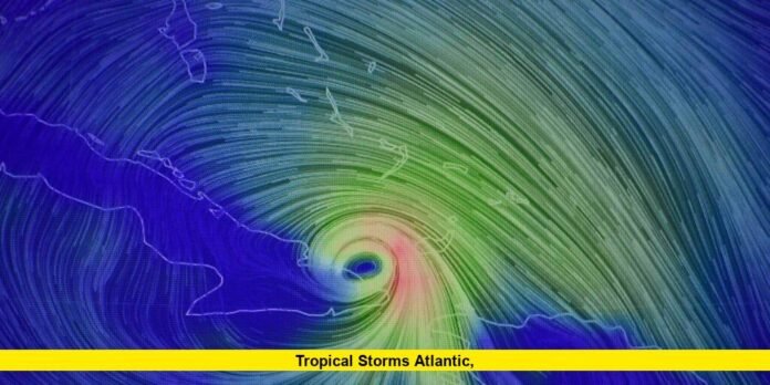
Tropical storms Atlantic are intensifying as the 2025 hurricane season enters its most active stretch. Meteorologists are closely tracking multiple systems across the basin, with conditions ripe for further development in the coming days.
A newly organized tropical disturbance near the Cabo Verde Islands has drawn significant attention from forecasters. Warm ocean waters, low wind shear, and a favorable atmosphere are creating the perfect environment for this system to strengthen quickly. It is expected to become a named storm within the week, with the next name on the 2025 list being Erin. If predictions hold, it could also reach hurricane strength before approaching the central Atlantic.
Another feature, identified as a strong tropical wave just off the West African coast, is also under close watch. This system has a high chance of developing into a tropical depression or storm by mid-August. Forecast models suggest a possible path toward the eastern Caribbean, but it is too early to determine any precise impacts.
A separate disturbance in the central Atlantic, which earlier showed potential for development, is now facing less favorable conditions. This system is expected to curve northward into the open ocean, reducing the likelihood of it affecting land.
Storms Already Named in 2025
The season so far has seen four named tropical storms — Andrea, Barry, Chantal, and Dexter. None reached hurricane strength, but each brought varying degrees of impact:
- Andrea – Formed in early June before quickly dissipating.
- Barry – Caused heavy rainfall in Mexico and contributed to flooding in parts of Texas.
- Chantal – Made landfall in South Carolina, producing widespread inland flooding across North Carolina.
- Dexter – Developed off the U.S. East Coast and transitioned into an extratropical system without making landfall.
Why August Is Critical
August is historically one of the most active months for tropical storms in the Atlantic. Ocean temperatures have reached well above average, in some regions topping 29°C (84°F), providing ample energy for storm intensification. The current atmospheric setup, including low wind shear and moist air, is favorable for storm growth and organization.
Must See-Atlantic hurricane season’s first hurricane likely. What it means for Florida’s weather
Adding to the potential for increased activity is the Madden–Julian Oscillation, a climate pattern that can boost thunderstorm formation in the tropics. Forecasters expect this pattern to remain in place for the next couple of weeks, enhancing the risk for multiple storm developments.
Seasonal Forecasts Adjusted Upward
With favorable conditions aligning, seasonal predictions have been revised upward. Experts now project between 13 and 18 named storms, of which 5 to 9 could become hurricanes. Out of these, 2 to 5 may reach major hurricane status, defined as Category 3 or higher on the Saffir–Simpson scale.
These figures include the storms already named, meaning the most intense and active period of the season may still be ahead. While not every system will make landfall, those that do could have significant impacts on coastal communities.
Potential Impact Zones
While it is still early to predict exact paths, current outlooks highlight the following potential areas for impacts from tropical storms Atlantic over the next few weeks:
- Eastern Caribbean – Monitoring possible development from systems moving west from Africa.
- Bermuda and Western Atlantic – At risk from storms that recurve north but still produce strong surf and rip currents.
- U.S. East Coast – Dependent on steering currents, some storms may track closer to the coastline.
- Gulf of Mexico – Warm waters could support intensification if any systems enter the region.
Staying Prepared
Residents in hurricane-prone areas are urged to have emergency plans ready. Preparedness steps include:
- Keeping a supply of water, food, and medications for at least 72 hours.
- Securing outdoor objects that could become projectiles in strong winds.
- Knowing evacuation routes and local shelter locations.
- Staying informed with reliable weather updates.
The Weeks Ahead
Forecasters agree that the next two to three weeks will be critical in determining the strength and number of tropical systems in the Atlantic this season. With Erin likely to form soon and other waves emerging from Africa, conditions appear set for a surge in activity.
The coming days will show whether any of these systems will pose a direct threat to land. Until then, monitoring official forecasts and remaining ready to act will be key to staying safe.
As the 2025 season unfolds, tropical storms Atlantic are living up to expectations for an active year. Whether the upcoming systems stay over open water or head toward populated regions, the peak of hurricane season is here, and vigilance is essential.
