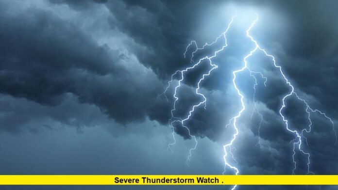
A severe thunderstorm watch remains in effect for the Twin Cities area as of early Saturday morning, August 9, 2025, with storms steadily pushing into the metro region. The National Weather Service has extended this watch beyond its original 4 a.m. CDT expiration, now set to last until 6 a.m. CDT, covering multiple counties including Hennepin, Ramsey, Dakota, Anoka, Carver, Washington, Scott, and several more.
The storms arriving bring heavy rainfall, frequent lightning, and occasional small hail. Rainfall rates in some areas are intense, reaching between 2 to 4 inches per hour temporarily, leading to accumulating rain measured in inches in a very short period. Northern parts of the metro, such as Maple Grove, have already experienced over half an inch of rain in just 30 minutes. There are also reports of hail in the western metro regions near Medina, Loretto, and Mound.
Despite the heavy rain and frequent lightning, no active severe thunderstorm warnings are currently in effect within the Twin Cities metro itself. However, parts of western counties west of the metro have experienced hail and gusty winds, prompting warnings there earlier. The line of storms is moving slowly eastward, with energy continuing to push into the metro area, keeping conditions unstable.
Lightning activity is notable, with thousands of strikes recorded mainly on the west side of the Twin Cities. As the morning progresses, the potential for gusty winds remains, and localized flooding from the heavy rains is a possibility in some neighborhoods. Meteorologists advise residents to stay alert for any updates as the watch is expected to remain through early morning hours while storms gradually move through.
Here is a quick summary of the current situation:
- Severe thunderstorm watch extended until 6 a.m. CDT Saturday for Twin Cities and surrounding counties.
- Heavy rain with rates up to 2-4 inches per hour in spots.
- Frequent lightning strikes, thousands in metro and west metro areas.
- Small hail reported in parts of western metro.
- No current severe thunderstorm warnings in the metro, but earlier warnings in western counties.
- Slow-moving storms continuing to push eastward across the region.
Residents are encouraged to remain cautious, avoid unnecessary travel during heavy rain and thunderstorms, and be prepared for possible lightning and localized flooding. The National Weather Service and local meteorologists continue to monitor the evolving weather situation closely.
Stay tuned for more updates as the severe thunderstorm watch remains in place and storms continue to impact the Twin Cities area.
If you’ve experienced the storm or have observations to share, feel free to leave a comment below to help everyone stay informed and safe.
